STRATA
Client
Vincennes, IN
Location
1933
Year Built
12,800
Square Feet
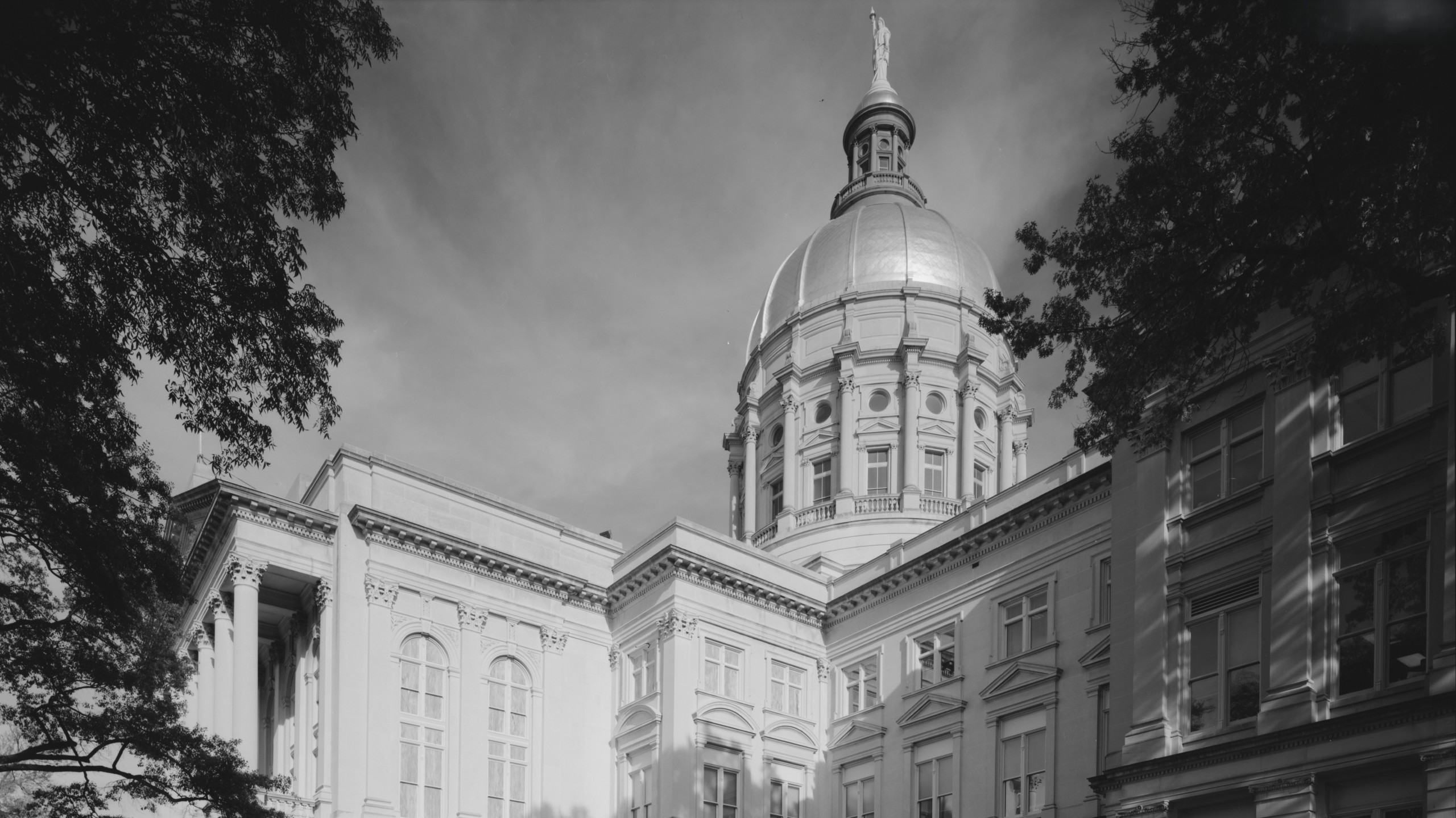
Managed by NPS, the George Rogers Clark Memorial is a nationally significant 80-foot-high granite rotunda, with character-defining bronze elements and a laylight crowning the interior. STRATA's preservation team needed accurate existing conditions documentation of the memorial's envelope and bronze features, but the rotunda's scale and concealed spaces made conventional methods impractical. RC Monkeys delivered a complete reality capture dataset, covering the exterior and the interior, including both sides of the laylight, and the concealed tunnel behind the entablature, giving the design team the accuracy and visual clarity needed for condition assessment and remediation drawings.
[ SERVICES ]
Laser Scanning
3D Virtual Tour
Photogrammetry
[ delivered value ]
Reliable existing conditions baseline for preservation planning
Drawing-ready backgrounds that reduced modeling and drafting effort
Complete coverage of elevated surfaces otherwise inaccessible
Shared visual and dimensional context for consultant coordination


[ challenge ]
Decades of deferred maintenance had put the memorial's exterior envelope and character-defining bronze elements at risk. The preservation team needed a reliable existing conditions baseline to move forward with design, but the memorial's scale, 90 feet across at the base with architectural features elevated throughout the rotunda, made conventional documentation impractical. The envelope, the underside of the laylight, the concealed tunnel behind the entablature, and the upper laylight surface each demanded a different capture approach that, when brought together, produced a cohesive deliverable.
[ SOLUTION ]
The range of conditions, from open rotunda to concealed tunnel, meant each required its own capture strategy.
Exterior and rotunda interior, including the underside of the laylight, were captured using terrestrial laser scanning, photogrammetry, and 360 photography. The tunnel behind the entablature and the area above the laylight were documented using terrestrial laser scanning and 360 photography.
A mesh model and 3D virtual tour were shared via a web-hosted service, enabling the team to access them remotely before their first site visit. The photorealistic, geometrically accurate point clouds gave STRATA drawing-ready backgrounds, reducing the need for additional modeling and drafting.
The full dataset was delivered in 10 days.
Explore Photogrammetry Model
Next